
The sudden appearance of fifty-foot tall dead tree trunks along the LaPlatte River on the east side of Silver Street and over two dozen trees planted north of the recreation field behind Hinesburg Town Hall in the fall of 2024, are part of a decade long effort by the Lewis Creek Association (LCA) to improve the quality of the LaPlatte River as it flows thru Hinesburg village.
Many residents had been curious about these activities and on November 2, 2025, LCA led a field trip to explain the science and practices that are being used to: reduce the impact of stormwater flowing into the LaPlatte River from impervious surfaces and the increasing frequency and volume of rain storms, improve wildlife habitat, and incorporate natural infrastructure to help Hinesburg become a more resilient community. The public was invited and about twenty-five people including members of the Hinesburg Conservation and Planning Commissions, along with town staff attended the “Ahead of the Storm” Tour of Hinesburg.
The program began inside with Kate Kelly, LCA’s Program Manager, describing how historic river and stormwater management practices like dredging, straightening, and ditching in the wetlands and floodplains have contributed to the poor water quality and flooding that challenge our community and impact Lake Champlain. Kate introduced the concept of LCA’s Ahead of the Storm (AOTS) program by sharing the “3 S’s” (Slow it, Spread it, Sink it), foundational principles of stormwater management that are used on properties of all sizes. Jessica Clark Louisos, Principal Water Resource Engineer at SLR, presented the engineering science for three different Hinesburg AOTS projects. The two projects in the village, the wetland restoration project on United Church of Hinesburg (UCH) property (between Route 116 and Stella Road) and the raingarden on town property (at the southeast corner of Route 116 and Silver Street), are instrumental in collecting and treating the stormwater runoff from Route 116, parking lots and driveways in a large portion of the village before it flows into the LaPlatte. The third AOTS project reviewed was the floodplain restoration at the corner of Beecher Hill Rd and North Rd on the town property that houses the Highway Department and the CSWD Drop-Off Center. In addition to improving water quality, an important component to this work is the opportunity to restore wildlife habitat. Habitat restoration and increasing floodplain connectivity were the primary focus of the project on the south side of the LaPlatte and east side of Silver Street. Here, the landowner enrolled in a U.S. Department of Agriculture's Natural Resources Conservation Service program to restore the wetland. The U.S. Fish and Wildlife Service provided technical assistance to design and implement the restoration work.

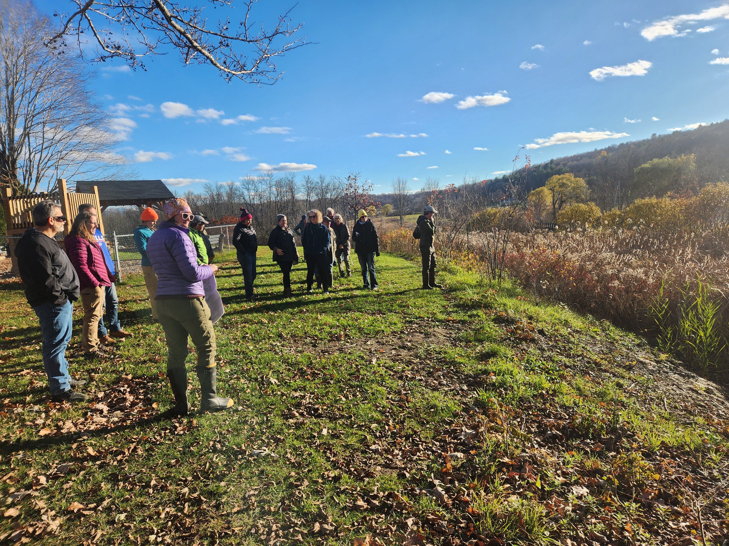
LCA Board Member Andrea Morgante describes the United Church of Hinesburg wetland restoration project.
After reviewing maps and slides many attendees ventured outside the UCH Parish Hall to take a closer look at the area that was previously over an acre of grass lawn and a youth soccer field, but had historically been used as a hayfield and ecologically was a wetland. The area, now restored to its function and value as a wetland, is receiving water from about 70 acres upstream, where it had been channeled into ditches behind the buildings and parking lots east of Route 116 and along the edge of the UCH parcel; it can now spread out into the restored wetland and flow more freely under the new larger culvert under Stella Road. The sun was shining on the restored area, highlighting the dozens of native shrubs, trees, and wildflowers that will support pollinators and birds, while improving water quality. The project also features a viewing area in the center of the project for folks to enjoy all the wetland plantings and wildlife. In this setting the group also learned some of the basics about VT General Stormwater Permit that requires the neighboring Cheese Plant property (and all properties with over 3 acres of impervious surfaces, including roofs and parking lots) to develop and implement a stormwater management plan to clean up the water leaving their properties.
Jessica Louisos describes how the Silver Street raingarden functions.
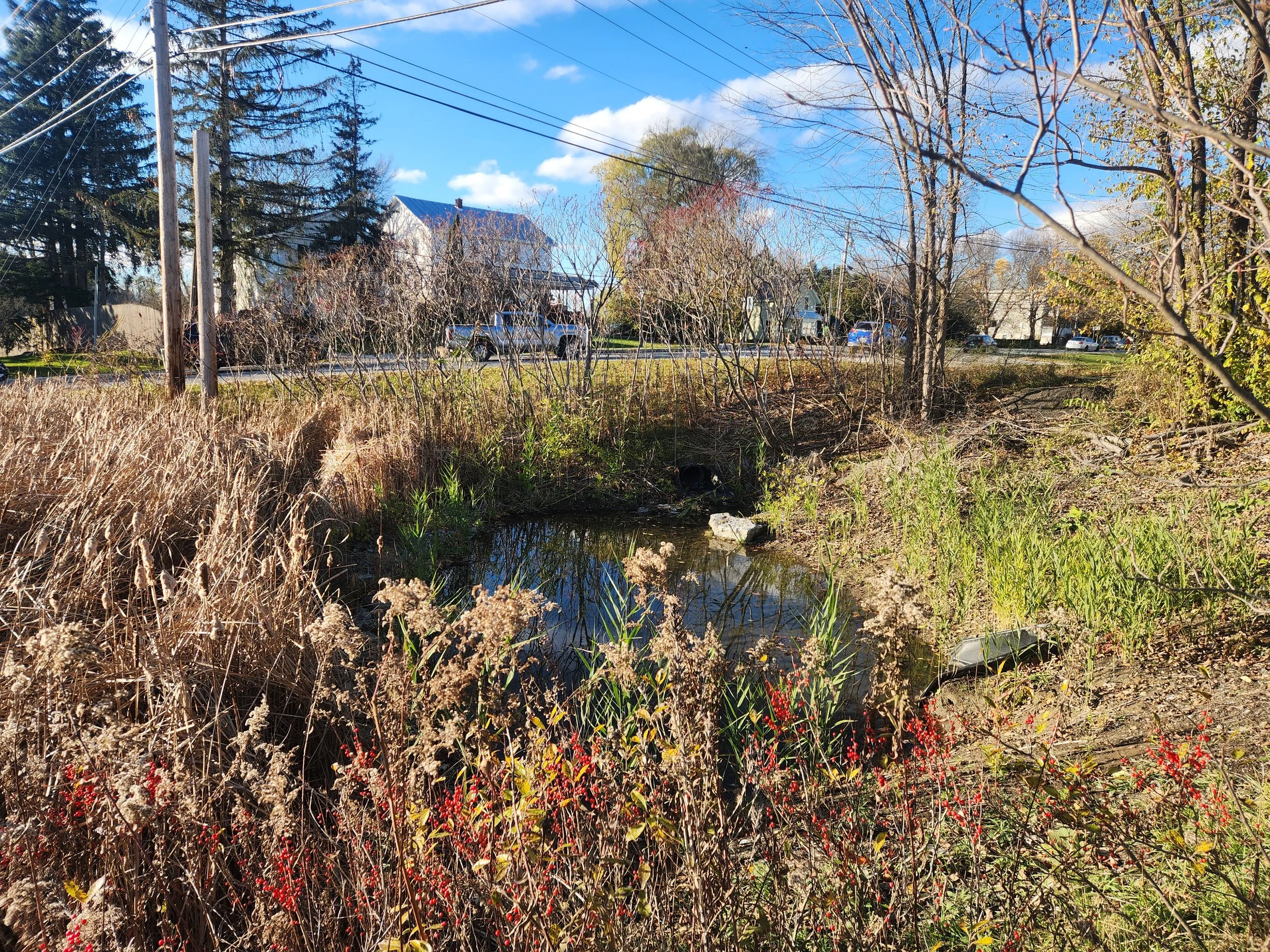
Water stored in the recently cleaned out forebay. If you look closely, you can see stormwater pipes entering the raingarden here.
The second stop took the group to the Silver Street Raingarden which treats stormwater runoff from the 6.7-acre area on the south end of the village, including about 2.6 acres of impervious surface. The area is constructed to collect the stormwater from the pipes and storm grates (catch basins) along Route 116 and the north side of Hinesburg Community School. The stormwater flows into a series of basins or ponds that are built to slow and store water, promote infiltration, and filter sediment and nutrients to pre-treat runoff that previously drained directly into the LaPlatte River. Along with the original planting of native shrubs and perennials to filter and absorb the pollutants, native cattails have grown into the basins. The area is now an inviting home for frogs, birds, and insects who share this diverse habitat. This project was completed in 2014 and requires periodic maintenance to remove accumulated sediment to keep the system functioning.
Down the hill from the raingarden and over the Silver Street bridge the group headed to the south side of the LaPlatte where the reason for the mysterious appearance of the standing dead trees was revealed. With over 1,400 feet of river frontage, the site provided the opportunity to both restore wetlands to improve water quality, and to place these dead trees, known as snags, to serve a whole host of functions and values to wildlife. They act as perches for everything from eagles to bluebirds, nesting habitat for Tree Swallows, and provide important habitat for invertebrates that serve as food sources for birds and other wildlife.
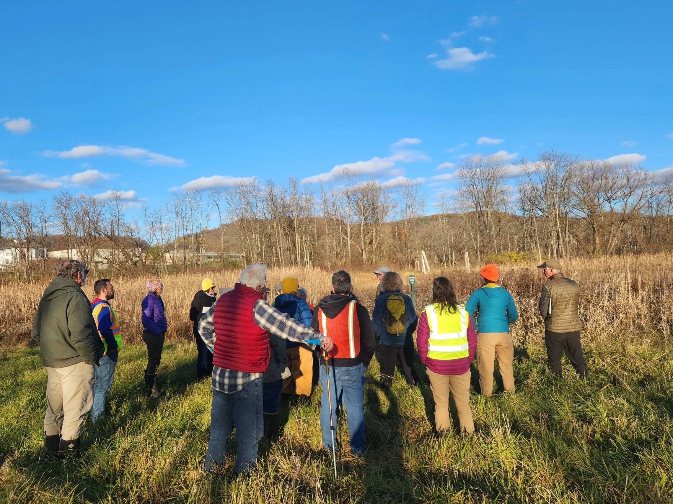
Learning about the restoration project and the many important benefits of snags or dead trees in wetlands and forests. (Snags are visible in the background)

Facing south looking at the water entering the LaPlatte River from the restored parcel.
Some of the tree trunks were laid horizontally to provide lower perches for wading birds as well as basking places for reptiles, and structure for amphibians to attach their eggs to. The snags and trees surround pools that were created in the floodplain, mimicking old river oxbows. To slow the river and allow greater access to the floodplain on this 17 acre parcel, piles of soil (berms) created in the 1940’s (when the river was straightened, and berms were created to keep the river channel in place) were removed. As a result of the berm removal, ditch plugging, rain in October, and earlier than expected arrival of beavers, new channels were flowing into the LaPlatte from different directions and creating diverse habitats including for a family of otters, while also providing greater flood storage upstream of the village of Hinesburg.
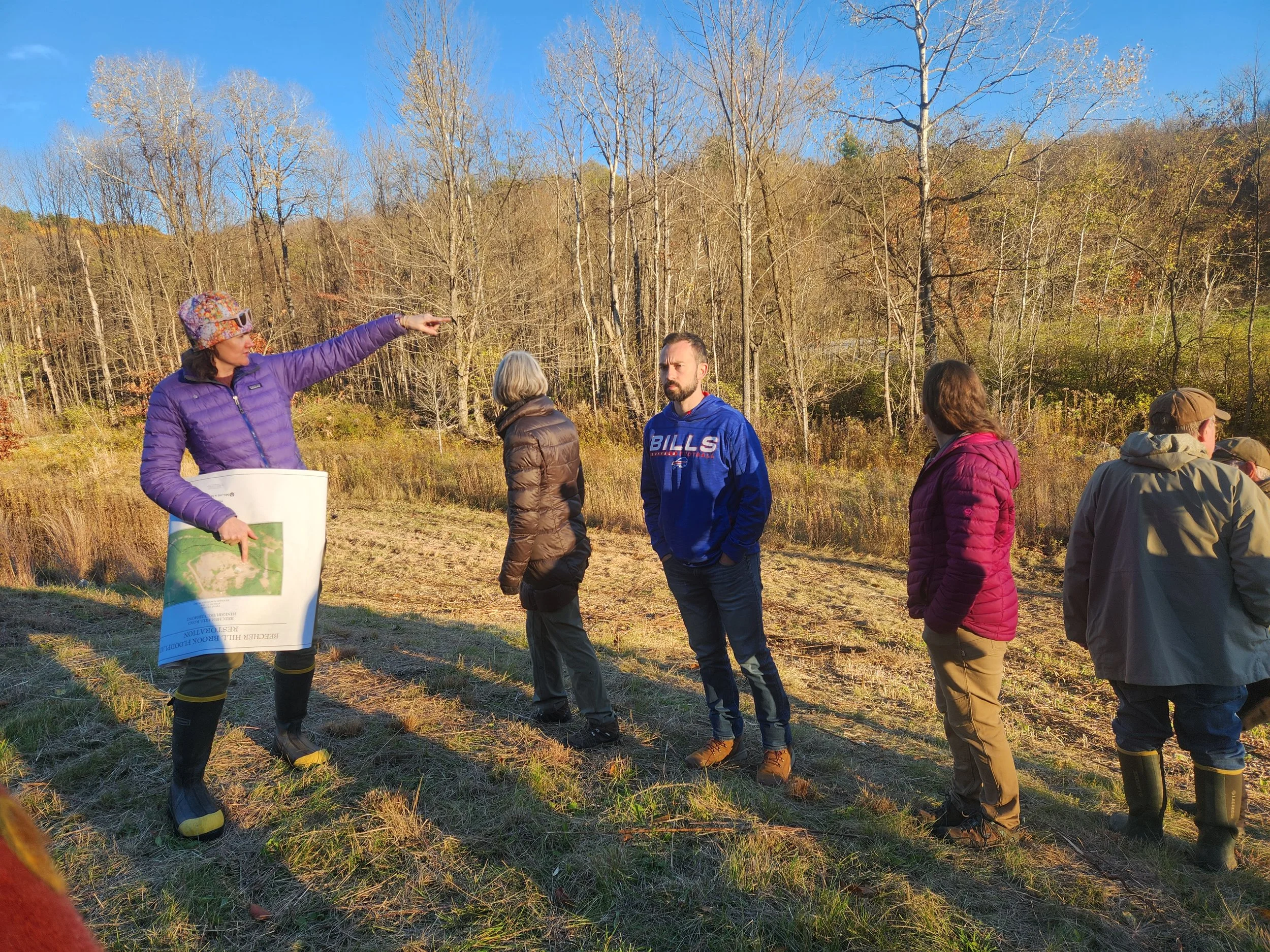
Jessica Louisos describing elements of the Beecher Hill Brook Floodplain Restoration overlooking the brook.
One of the rock weirs that was installed as part of the project to raise the level of the brook, allowing it to access its floodplain.
Heading upstream to a tributary of the LaPlatte, the final stop on the tour was the Beecher Hill Brook Floodplain Restoration project. This was an extensive project to address multiple complications from past river management practices. Historically this stream flowing from the eastern hills had been constricted by berms, undersized culverts, straightened and altered to limit the number of culverts needed to cross North Road and construction of the Town Garage in the 1960’s. The stream had been forced into one narrow channel which was eroding, and the winter sand/salt pile was located within the floodplain. The need for a new Town Garage provided the opportunity to apply river science that would allow the river to move freely, floodplain restoration, and stormwater treatment from the impervious surfaces associated with the new town buildings and the CSWD Drop Off site. The obvious site improvements associated with the building construction included swales, filter strips, and multiple stormwater infiltration basins. The restoration aspects of the project were less obvious. Berms and sediment next to the brook were removed, and structures were added to the stream to help raise its level (allowing it to access its floodplain during high water). These structures included large logs (with roots attached), and large boulders (rock weirs). Trees and wildflowers were planted. This work was done to raise the level of the stream, allowing it to access the floodplain during high water events. The project was completed in late October of 2019, and its success was obvious when on October 31st, “the Halloween Storm” arrived and brought flooding to Hinesburg. While re-seeding needed to occur, the storm also showed that the project worked - the Beecher Hill Brook was able to access its floodplain! The 2019 restoration work allowed access to the floodplain in this area and prevented even worse damage to the bridge at this site during the July 2024 storm event. It was noted that at one of the rock weirs that was installed (see photo), the bottom of the stream had been lowered due to a head cut that likely traveled up the stream during the flooding. Without the rock weir, the head cut likely would have continued much further upstream causing more damage, deepening the channel along the way. It could be a good idea to install an additional rock weir just below the current one to help raise the level of the stream back up a bit. As we walked upstream of the rock weir, participants noticed that the stream was no longer a single channel, but had a little island, with two channels, a more natural river form.

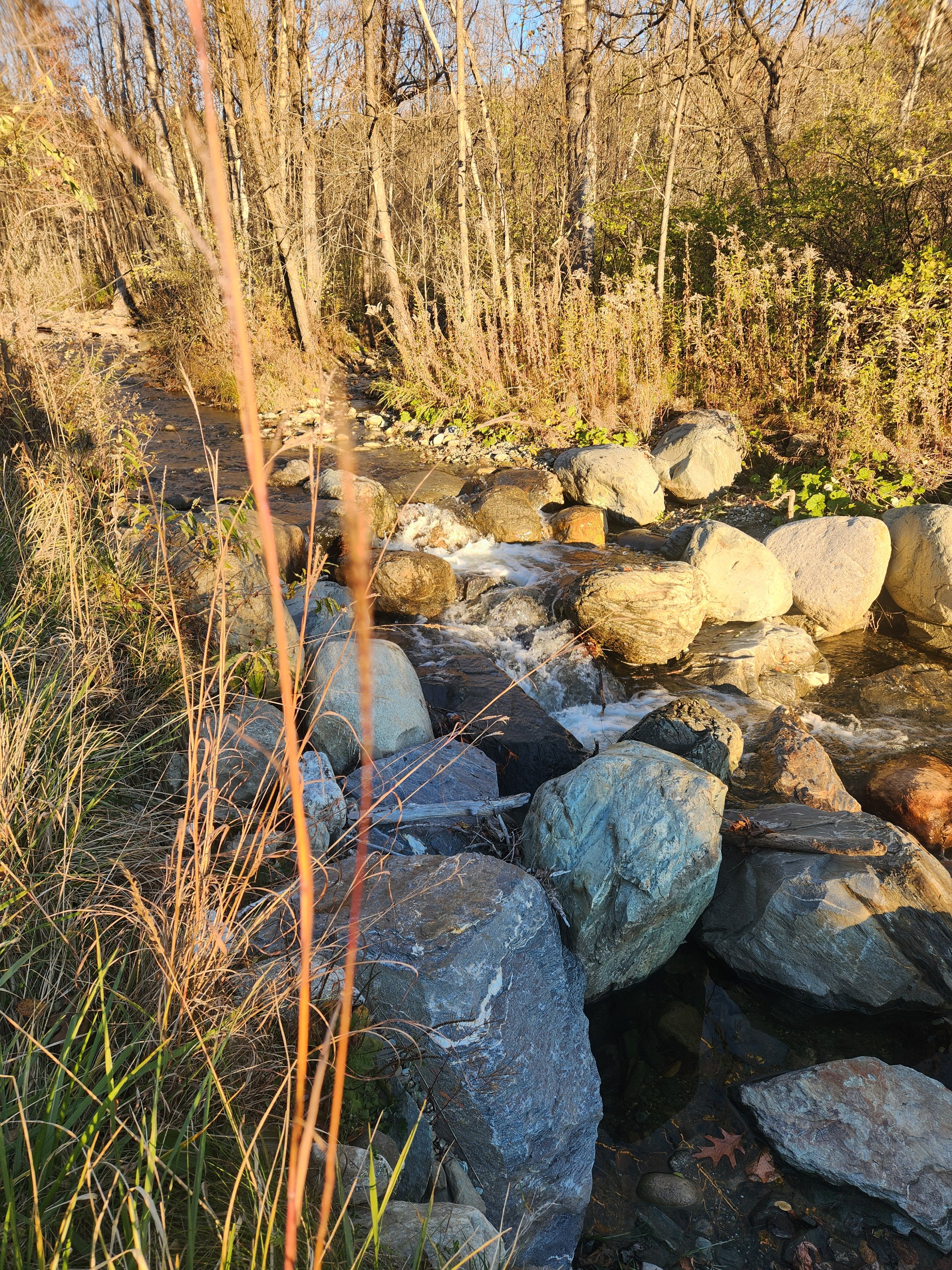
Looking upstream Beecher Hill Brook at sunset.
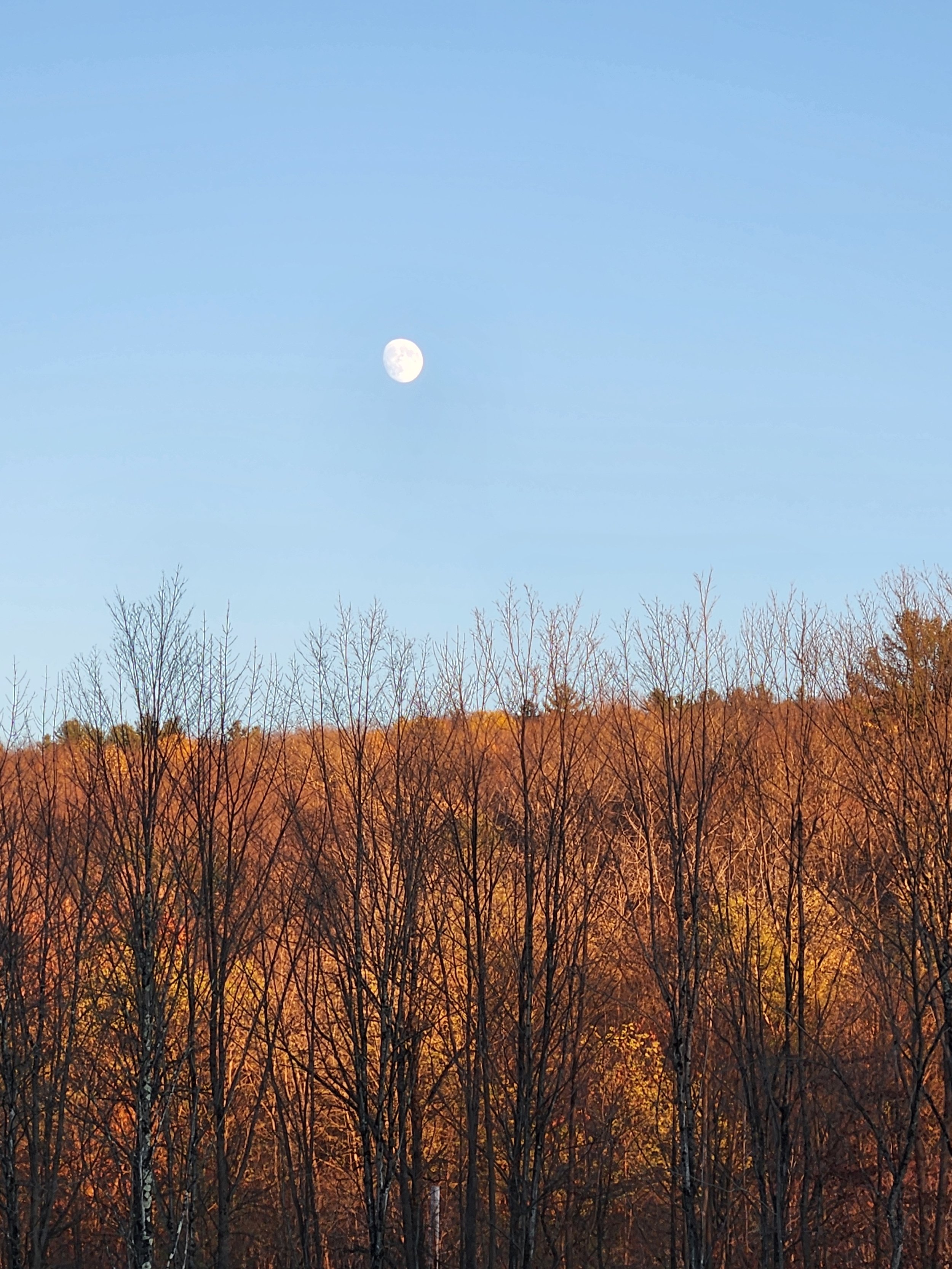
Moon rising over the hills as the tour comes to an end.
As the moon rose over the hills and the temperature began to drop the tour ended. The tour was a great opportunity to connect, to share and celebrate successes to date, and to plan for the future. LCA hopes to continue to work with private and public landowners, knowing that taken together, these restoration projects, demonstration sites, and conservation/restoration easements in the Hinesburg portion of the LaPlatte River watershed are working to protect floodplain functions, improve wildlife habitat, and reduce stormwater runoff. Incorporating the 3 S’s of the AOTS program and understanding how rivers and wetlands function as part of the natural infrastructure, together with appropriately sized culverts, bridges, and well maintained ditches and swales on public and private property, will increase Hinesburg’s ability to be a resilient community as the future most likely brings more frequent and intense storms.
All Photos Credit: Sara Lovitz
This program was supported by the Climate & Environment Impact Area of the Vermont Community Foundation.