
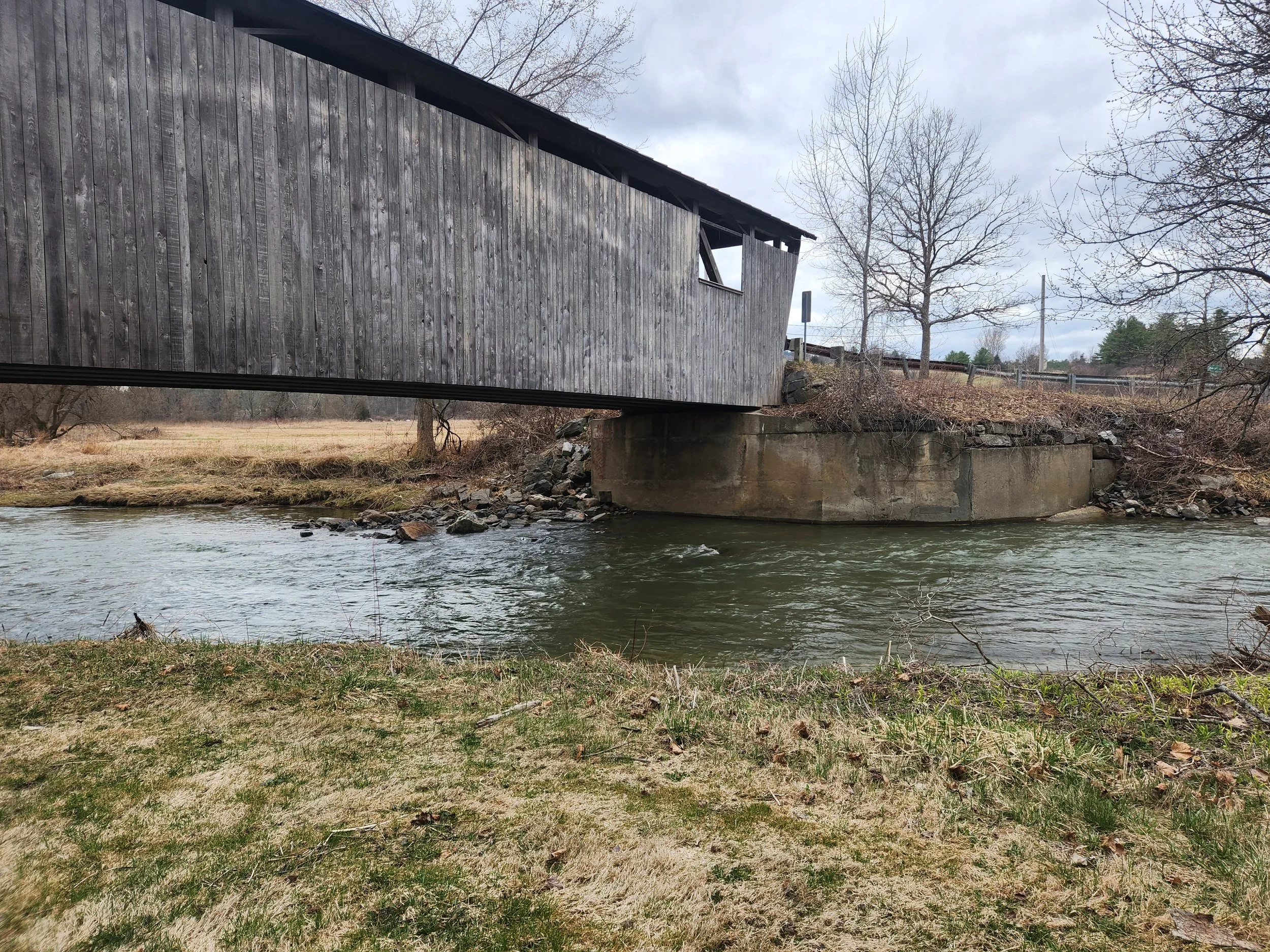
The Quinlan Covered Bridge in Charlotte carries hundreds of vehicles over the Lewis Creek each day and is listed on the National Register of Historic Places. The geographic setting of this bridge presents some challenges for public safety and flood resilience. The bridge span is less than the natural bankfull width of the Lewis Creek channel, and oriented at a sharp angle to the channel, with this constriction leading to upstream sedimentation and scour of the bridge abutments. Access roads, Spear Street and Monkton Road, constrain the channel and floodplain both laterally and vertically, accelerating floodwater conveyance under the bridge. Historic ice jams and river flooding have threatened the integrity of the abutments of this historic bridge, and subjected a nearby residential property to inundation flooding and erosion hazards.
To enhance flood resilience of this historic bridge, Lewis Creek Association has worked with the community and stakeholders over the years to enhance floodplain function in the bridge vicinity including replacement of an undersized tributary culvert. In this talk we will review the history of flooding at this site, summarize past restoration efforts carried out by the community, and learn how the floodplains functioned during the July 2024 flood to protect the bridge and downstream infrastructure. Future alternatives for improving flood resilience will also be discussed and viewed during a companion walk scheduled on October 19th (please sign up for that walk at the link below).
Kristen Underwood is a computational hydrologist and Research Associate Professor in the UVM Civil & Environmental Engineering department. She has also consulted for watershed groups, towns, regional planning commissions and state agencies on river restoration and conservation projects.