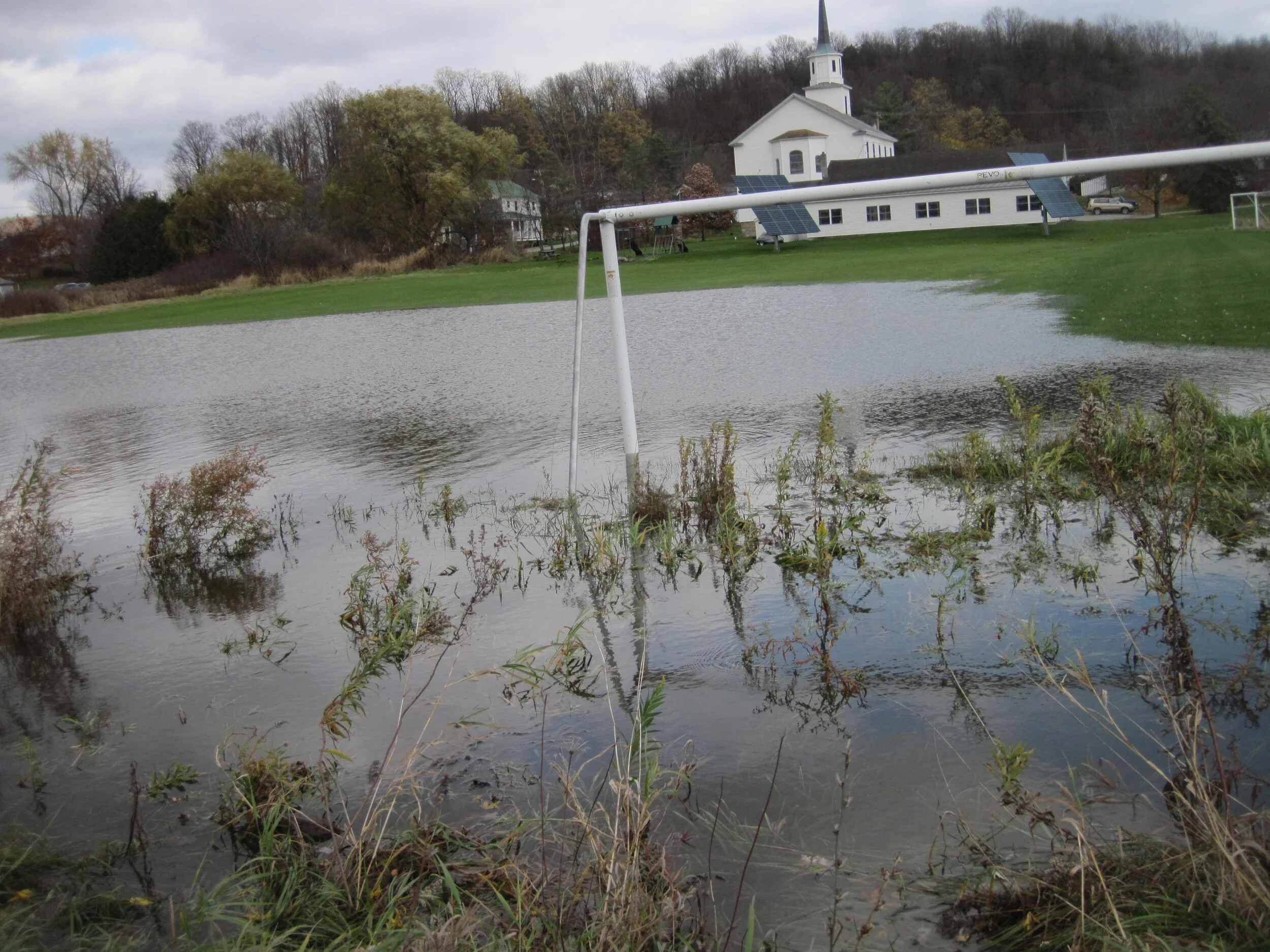
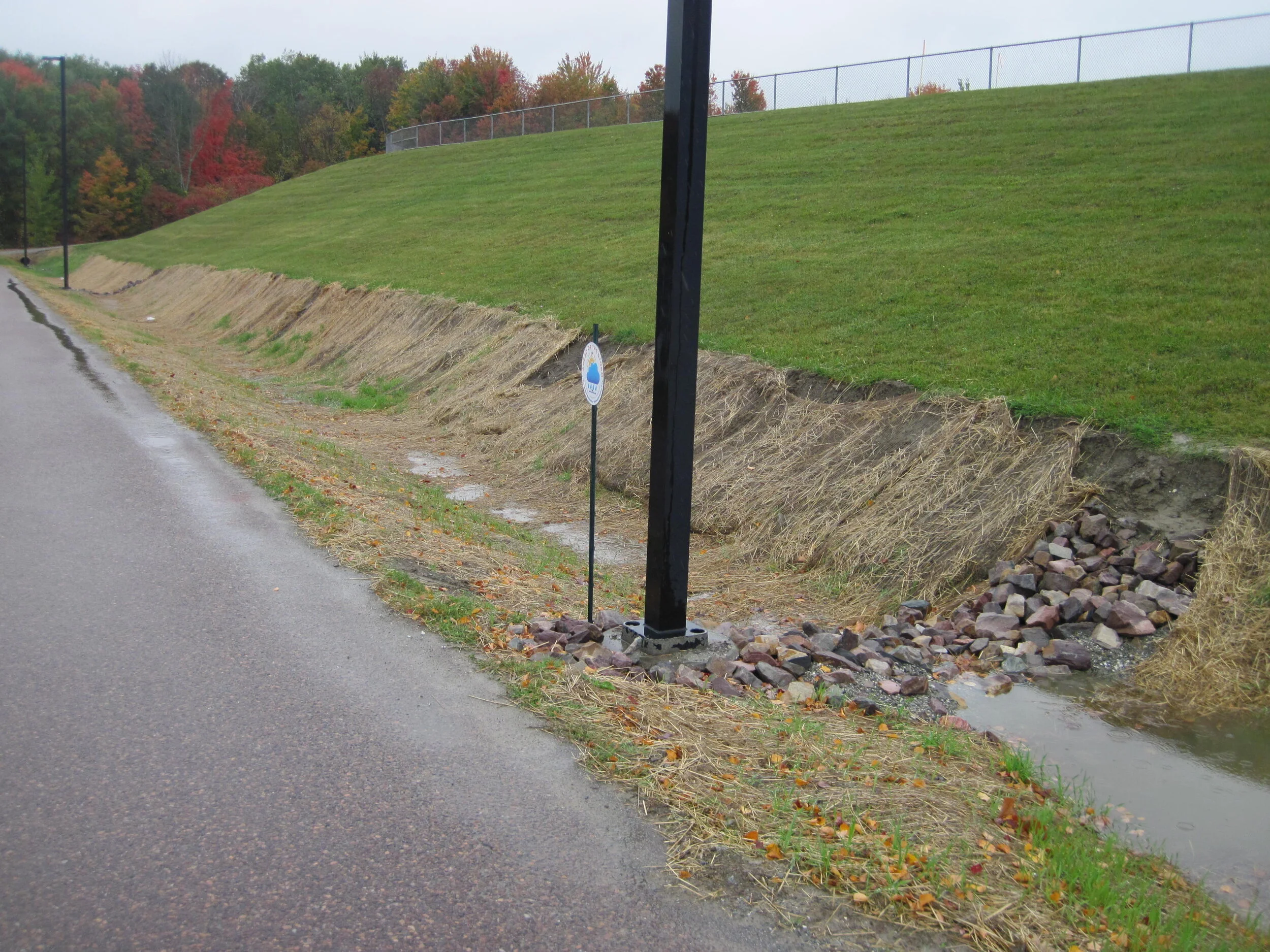
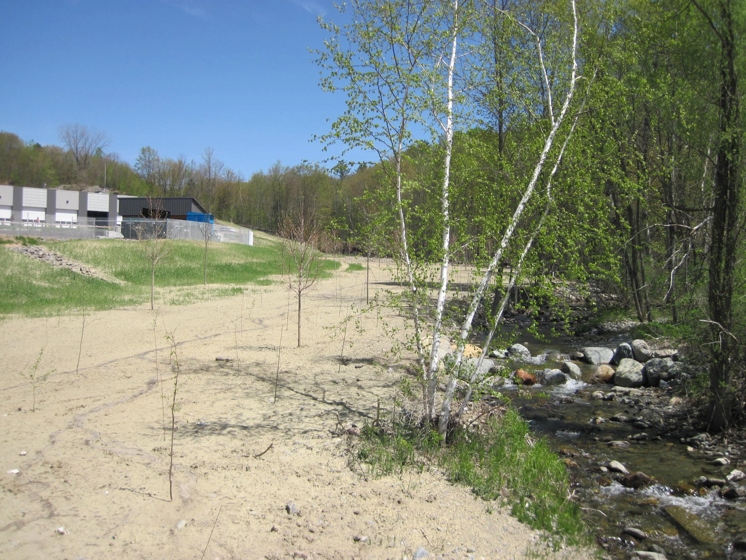
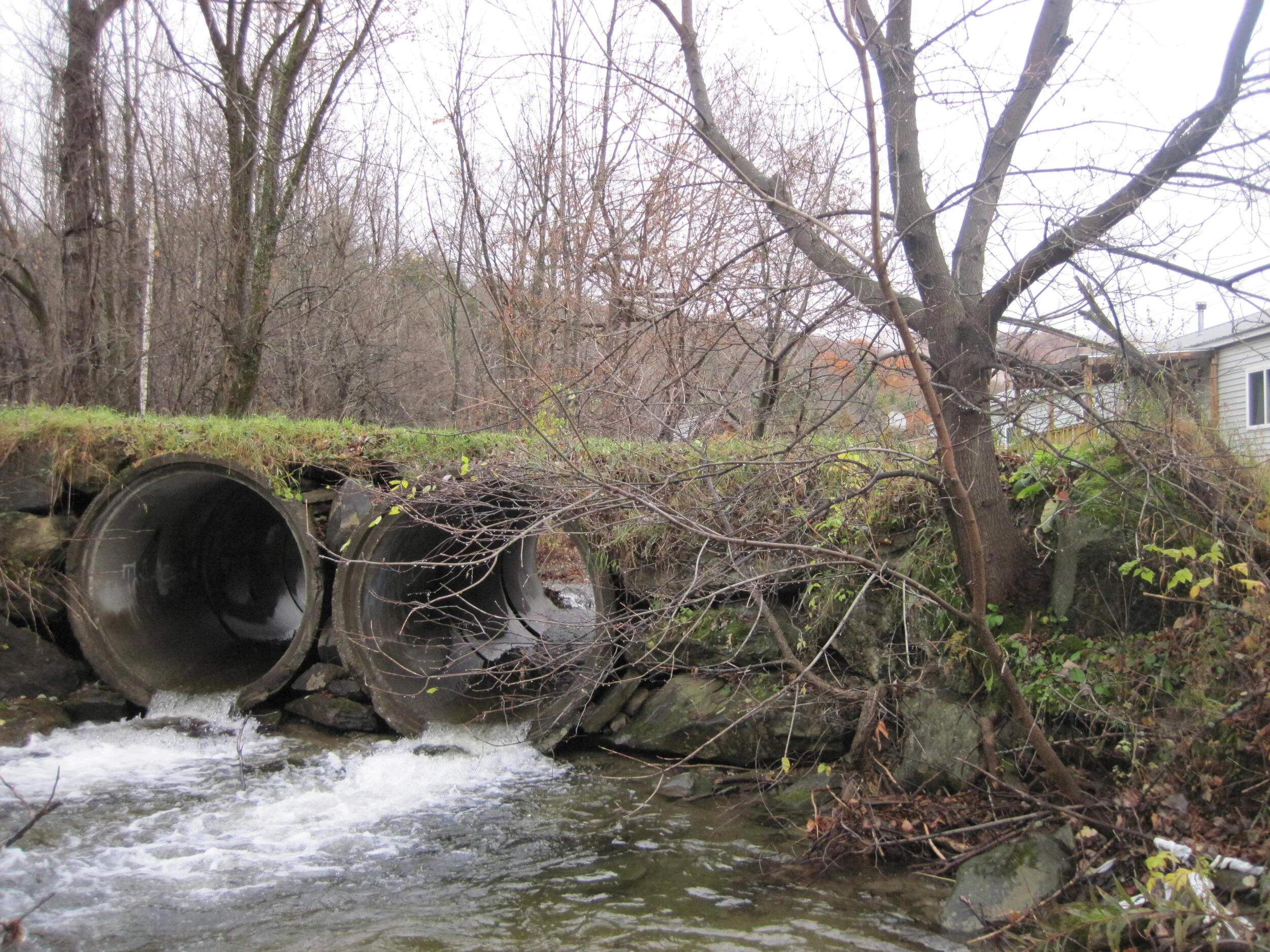
In spring 2020, LCA adapted our FY20-21 Water Quality Stewardship Program tasks in the LaPlatte watershed region (funded by our local towns), since water quality sampling was put on hold due to COVID. We were able to create new virtual educational materials available on our website https://www.lewiscreek.org/water-quality-videos and gave several Zoom webinars (most of these are also available on our YouTube channel (https://www.youtube.com/channel/UC2ZlGtaFmB55EvlZTvK3lQQ). These included longer presentations for public education, and shorter versions for boards/committees/landowners.
We moved our scorecard map that shows water quality conditions in the watershed to an online interactive format, with the help of Pam Brangan from CCRPC. This map includes additional layers that will be useful to planners and Conservation Commissions as they work to understand water quality conditions in the watershed. The three products associated with this are as follows:
· Story map (a good place to start, with links to the other products) - https://ccrpc.maps.arcgis.com/apps/MapSeries/index.html?appid=91bf486743b2485bbc03c43712592e89
· Interactive map - https://map.ccrpcvt.org/LCA-SouthChittendenRiverWatch/
· Dashboard - https://ccrpc.maps.arcgis.com/apps/dashboards/1b44205266d44408a9c1d079b4fc5059
Kate Kelly will be hosting a brief training on these new products on June 24 (Thursday) at 7 PM. If you’d like to attend, or have any feedback on these scorecard map products, please e-mail Kate (lewiscreekorg@gmail.com) for the Zoom link.