South Chittenden River Watch

The South Chittenden River Watch (SCRW) has been monitoring water quality in four watersheds in southern Chittenden County since 2004. Long term trends are tracked at a sub-watershed scale using over 30 monitoring sites (about 15 monitored per year). South Chittenden River Watch monitors the LaPlatte, McCabe's, Thorp, Kimball, and Holmes watersheds in the towns of Shelburne, Hinesburg, Charlotte and Ferrisburgh. These watersheds drain to Shelburne Bay and directly to Lake Champlain in the middle Lake Champlain region. Beginning in 2022, SCRW began sampling Lewis Creek in addition to the streams listed above. Water sampling is conducted by a team of volunteers, then samples are taken to the VT DEC lab for analysis. Learn more about water quality and what LCA and SCRW do to improve it with the videos on this page.
Results are used to understand baseline water quality conditions, determine effectiveness of "Best Management Practices", and identify hot spot phosphorus loading and critical source area locations in need of remediation recommendations and investments. LCA, towns, and citizens rely on SCRW monitoring data results to understand stream water quality conditions under current regulations, inform education outreach efforts, town plan and regulations updates, regional plan updates, monitor effectiveness of storm water practices and sewer treatment systems and to inform optimal conservation practices designs for water quality improvement projects. Water quality results are also used by watershed towns, VT DEC, Vermont Agency of Agriculture, the Natural Resources Conservation Service and District offices, UVM Extension, USDA Farm Service Agency, US Fish & Wildlife Service, and Vermont Fish & Wildlife Department.
If you are interested in volunteering for SCRW, please fill out this form.
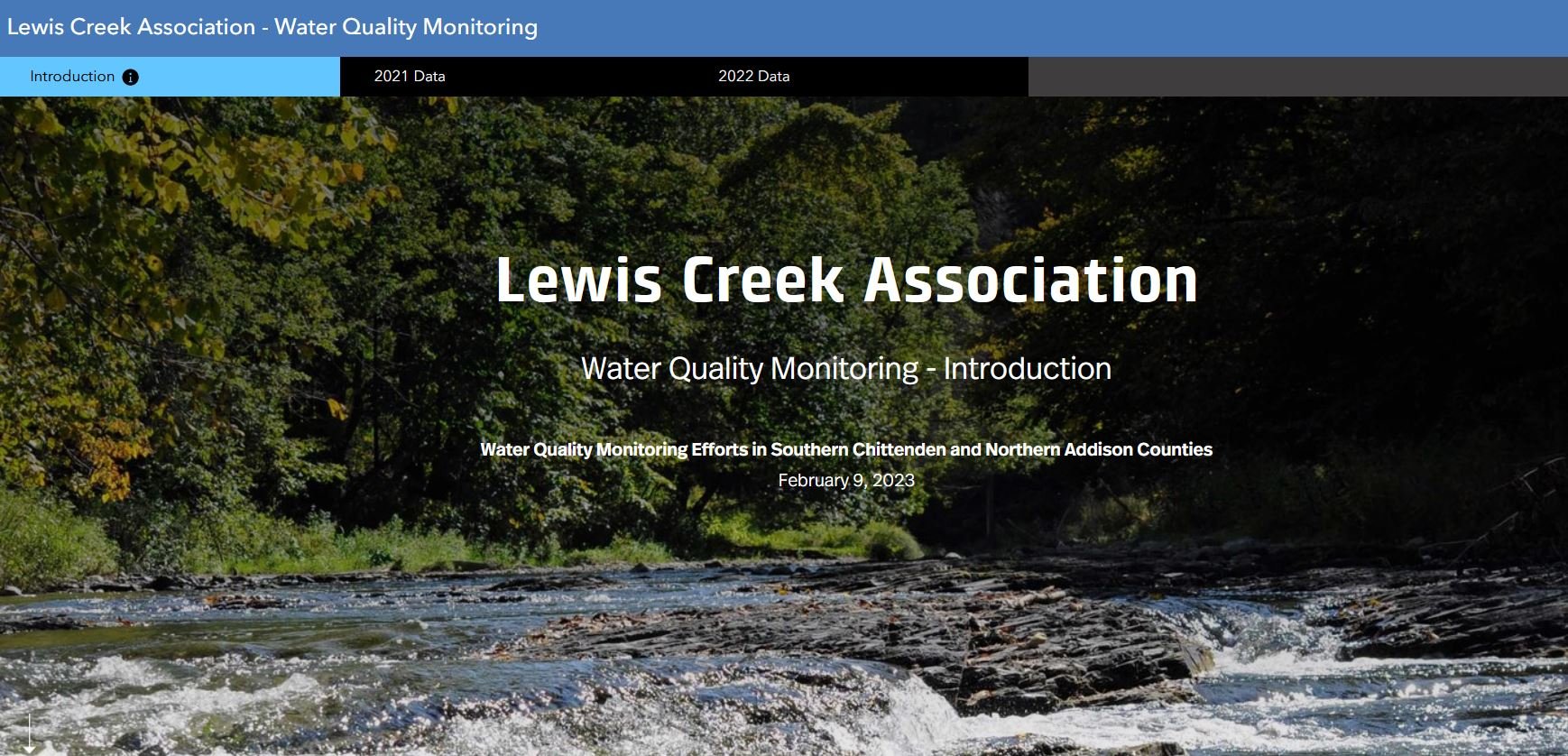
Lewis Creek Association has been working hard to make our water quality data results more accessible and understandable to our watershed towns and citizens. We are thrilled to announce that, with the help of consultants from Just Water Consulting and FluidState Consulting, and funding from Vermont DEC’s Tactical Basin Planning funds and your local towns (thank you Charlotte, Hinesburg, and Shelburne!), we have finalized our analysis; you can now view results from our recent (2021 and after) sampling in an easily-understandable map format. You can learn more about why we sample for certain parameters (for example, why do we care about chloride? what does it do to our streams?) and what the results are from the stream nearest you. Explore more at https://bit.ly/LCA-WQ-2021 or below.